I have just returned from my first trip to South America where I did three walks: The Inca Trail in Peru, the Parque Nacional Torres del Paine in Chile and the Parque Nacional Los Glaciares in Argentina.
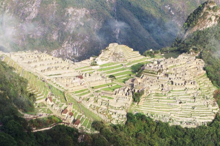
The first walk, the four day Inca Trail which culminates when one enters the site of Machu Picchu through the Sun Gate, was an organised tour so I won’t spent too much time on that one. There are only two ways to see this Inca marvel : to walk in on an organised trek or catch a train to the small town, Aguas Calientes, at the bottom of the mountain on which this amazing structure is situated and catch a bus up.
The Incas believed that the Cusco was the navel of the earth from which humans, notably themselves, were born. Their empire spread in all directions from that city and they had a number of trade and communication routes originating from there extending throughout their considerable empire. The Inca Trail is the trail from what is called Kilometre 82, on the train track to Aguas Calientes, to Machu Picchu although there are lots of other Inca Trails in the area most of which one can walk independently.
The walk was relatively short, 43 kilometres in four days ,but it did take us to 4200 metres which, when you come from sea level, makes for interesting walking. The reward, seeing the sun rise on Machu Picchu, was well worth the effort, however, especially when the morning as as perfect as it was for my group.
From here I travelled down to Punta Arenas in southern Chile and was immediately introduced to one of Patagonia’s legends when the wind sock at the airport was horizontal and the wind so strong, 90 kph, it was blowing luggage off the conveyor belt as the plane was being unloaded. Would I be walking in that and, if so, would I manage to gain any ground at all or would I simply be walking backwards? Little did I know I was soon to find out.
I caught a bus to Puerto Natales, jumping off point for what some people describe as the finest walking in the world, the Parque Nacional Torres del Paine. From here I caught a bus to the park and began my trek. I had originally intended to do what is called The Circuit, a seven to ten day walk around the main mountains in the park. I consulted a weather forecast on the day I caught a bus to the park which was offering me five days of good weather followed by days of heavy rain and winds of up to 100 kph. After much soul searching, I decided to just do what is called The Big W, a good call as it transpired.
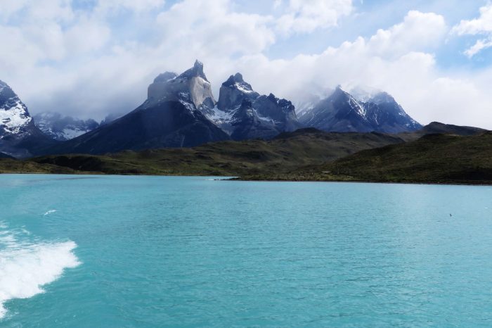
Day One saw the bus take me and about 100 others to the park entrance where we parted with our entry fee, about CP$21,000 or A$42, and were taken into a room where we all had to watch a video on etiquette in the park. From here it was off to one of the three entry points for walking. I chose the central one which involved me a 45 minute boat trip across Lago Pehoe. The sky was overcast, a wind was blowing, the water was a stunning green colour and the views of the snow covered mountains we were travelling towards were awesome. I headed for Campamento (Camp) Grey some 11 kilometres away. It was spitting and a 70 kph wind was in my face. The rain, driven by the wind, felt like hail as it stung my face and sucked the warmth out of me. Although I got wet, the wind dried me out just as quickly. I felt like a Coolgardie safe.
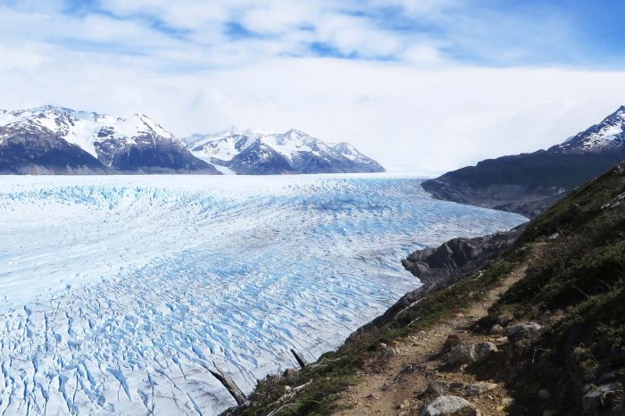
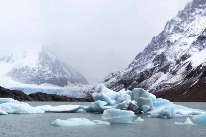
But the scenery was stunning. Leaving a track through a gully which had obviously been burnt by a fire sometime ago, I mounted a saddle to find in front of me a vast glacial lake complete with icebergs. I knew it was Lago Grey and was fed by a glacier.
When I arrived at the campamento and booked myself in I was asked if I had a reservation. No, I replied, and was given a scowl before a smile. I subsequently learnt that just two weeks earlier Park management had introduced new rules to try and control the ever increasing numbers of walkers from all over the world who were attracted to, and were ruining, the park ; 200,000 people had entered the park last year. The changes, which had not been well publicised, were made to save the park from those who loved it and there were three – The Circuit was closed until November 1st, a number of previous free camps had been permanently closed and, theoretically, no walkers were allowed into the park unless they had booked, on the internet, the camping sites where they wished to stay.
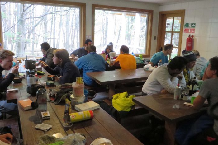
The park has a few free campamentos which offer very basic facilities, drop dunnies and a cocina, a cooking shelter, which are the only places where one can cook a meal on flames – this an effort to control fires which, fanned by the winds, are absolutely lethal here as the burnt out section I had walked through illustrated. They also have campamentos with showers and mini- markets where one pays C$5000 a night, about A$10, and they have refugios, mini-hotels, which also provide (expensive) rooms and meals if you book them early enough. So one can walk the park by camping or by booking refugios.
Having snagged a camp site, I set up my tent before going to the mirador (lookout) to check out the face of the glacier which gave the lake its name. It was fantastic; imposing, beautiful, silent. Challenging the existence of mere mortals who measured their lives in years when the glacier measured it’s own in decades and centuries.
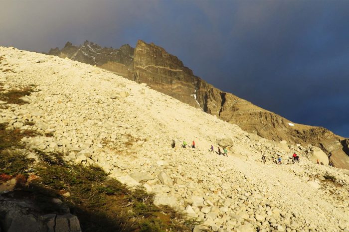
Day Two I spent checking out the massive Grey Glacier following it along part of its length from the side of the mountain. Again the winds were about 70 kph with gusts of 90 kph which were trying their utmost to blow me off the side of the mountain – and nearly succeeded a couple of times.
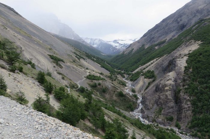
Day Three saw me retrace my steps and hike 20 kilometres around the base of the mountain to the beginning of a valley between two giants to the free Campamento Italiano. Again the walk was beautiful and this time I had the wind at my back, a great help with the ascents.
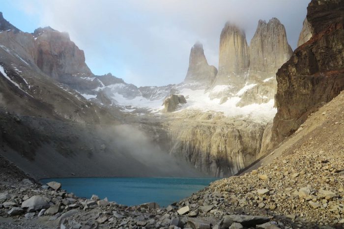
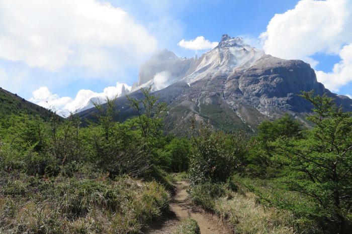
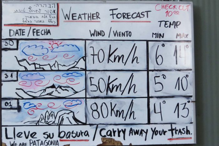
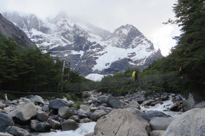
Day Four I was set to explore the Frances Valley but just as I was about to go the resident ranger declared it closed because the winds, at 80 kph plus, were too strong to make it safe. I was later to learnt that it remained closed for three days. While this was obviously disappointing, Nature runs the ship here and we mere walkers just fitted in the best we are able. So instead of exploring that valley, I hiked the 25 kilometres around the second mountain, and up, to Campamento Chileano, an hour under the Torres (which is Spanish for tower) mirador, the flagship of this park. I was now ideally suited to get a view of this spectacular formation in the morning weather allowing.
Day Five saw me up early on a perfect day to capture Torres as its absolute best. A fantastic sight. The walk from here on was part of the Circuit so I walked down and out of the park, a happy man. The weather could have been better but it could have been a whole lot worse , in fact I later leant that it rained and blew continuously for the next three days depriving walkers of any hope of seeing either Frances Valley or Torres.
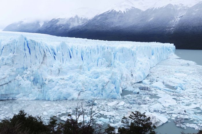
From here I jumped on another bus and travelled to El Calafate in Argentina where I took the opportunity to check out the Perito Moreno Glacier in the southern Parque Nacional Los Glaciares. Patagonia has the third largest reserve of fresh water in the world and this glacier is the third largest in that a field. And what a monster. Five kilometres wide at its terminus, thirty kilometres long with a total area of 258 square kilometres, its face has an average height of 70 metres above the lake it feeds – equivalent to a twenty story building!
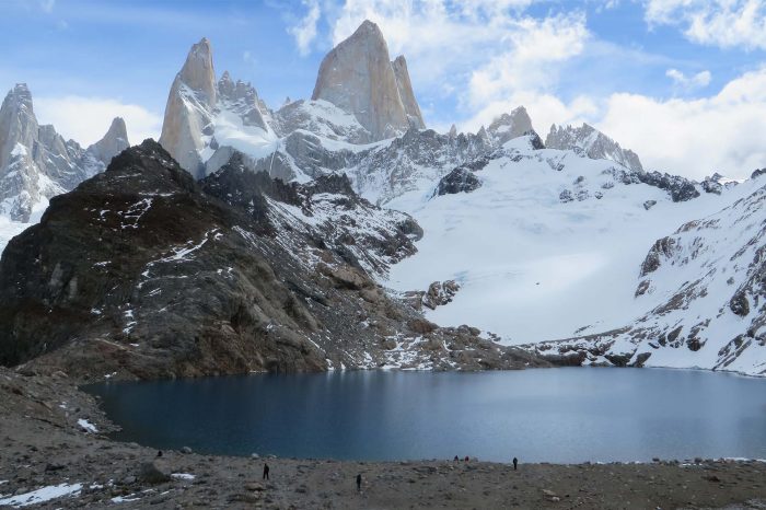
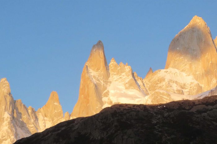
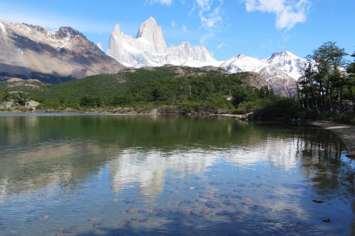
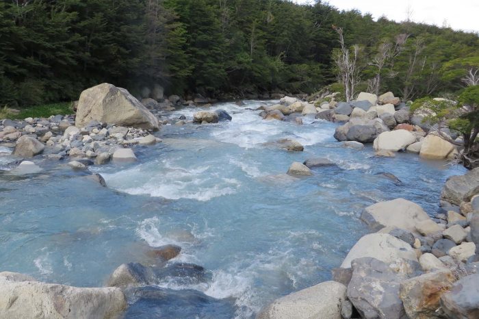
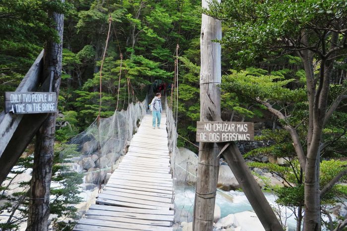
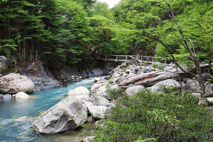
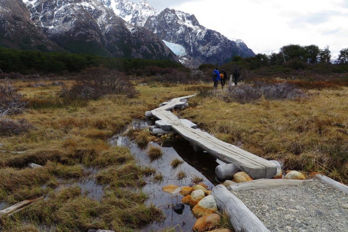
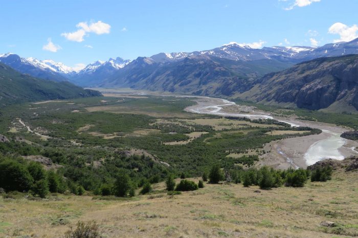
From here I travelled by bus to El Chalten located in the northern section of this same park and the only place in it where one can trek. All the publicly accessible walks are within about seventeen kilometres of the town which means there are always day walkers around but they don’t share the same sights or have the same time to explore as the trekker. The walking here is stunning and while the distances are not huge, the scenery is some of the best I have ever seen outside of arid lands. The walks are largely based around mountains, glaciers, glacial lakes (which colours range from an almost white, aquamarine, teal, emerald green, turquoise and cobalt blue), glacial fed rivers, valleys and forests of birch. The weather is subject to all the vagaries of this part of the world ,wind, cloud and rain, but I snagged a great week and saw everything on offer in pretty good conditions, the highlight of which was sunrise on Mt Fitz Roy.
Patagonia is a unique part of the world and the spaces and vistas are extraordinary – as is the wind which increases in the peak season of January to February. For weather forecasts all the locals use an app called windguru.com. In general though, the weather is best summed up by the sign I saw at Campamento Torres above the cocina which read “Don’t ask about the weather. We are in Patagonia. We don’t know.”


Comments (0)