The Pyrenees is the mountain range that runs east to west from the Mediterranean Sea to the Atlantic Ocean. It forms the border between France and Spain. It’s an area rich in agricultural and mining history, prehistoric remains and large forests.
I had come across this blog that got me interested in further research and the first walk I led for the club in 2018 began to take shape
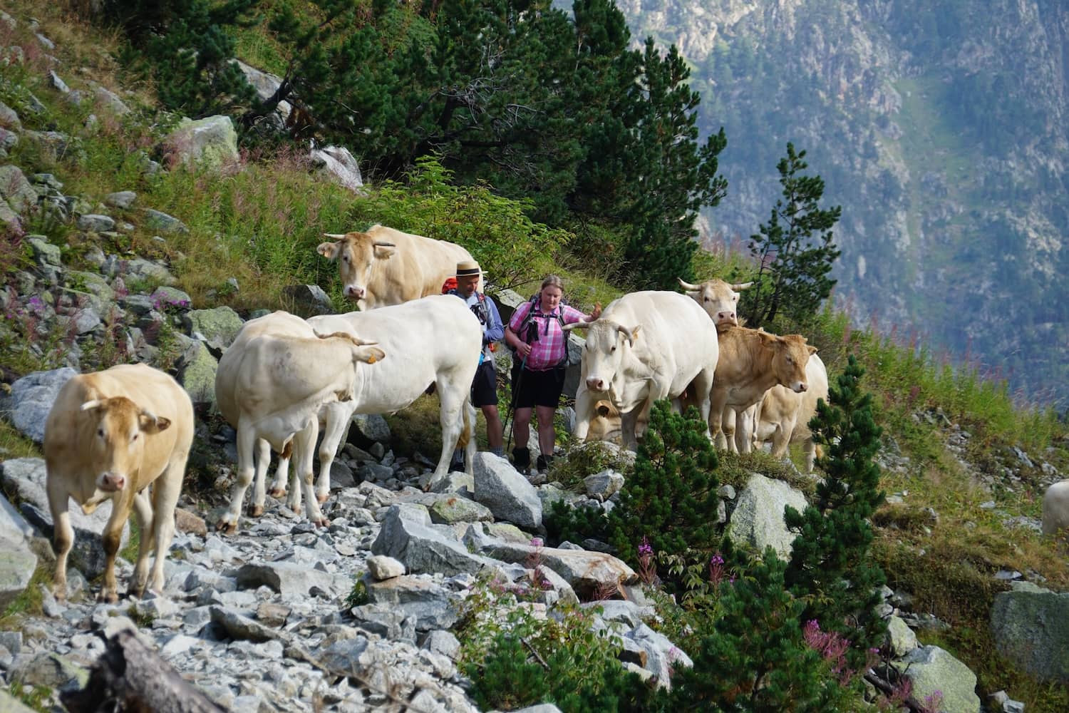
It soon becomes apparent that there are very many walking options along its nearly 500km stretch. There are three through walks that traverse the length of the range. The GR10 in France, the GR11 in Spain and the Haute Pyrenean route that sticks to the highest possible tracks. There are historic trails that run north-south over the range also. They provide many opportunities for planning loop walks that connect with public transport in both Spain and France.
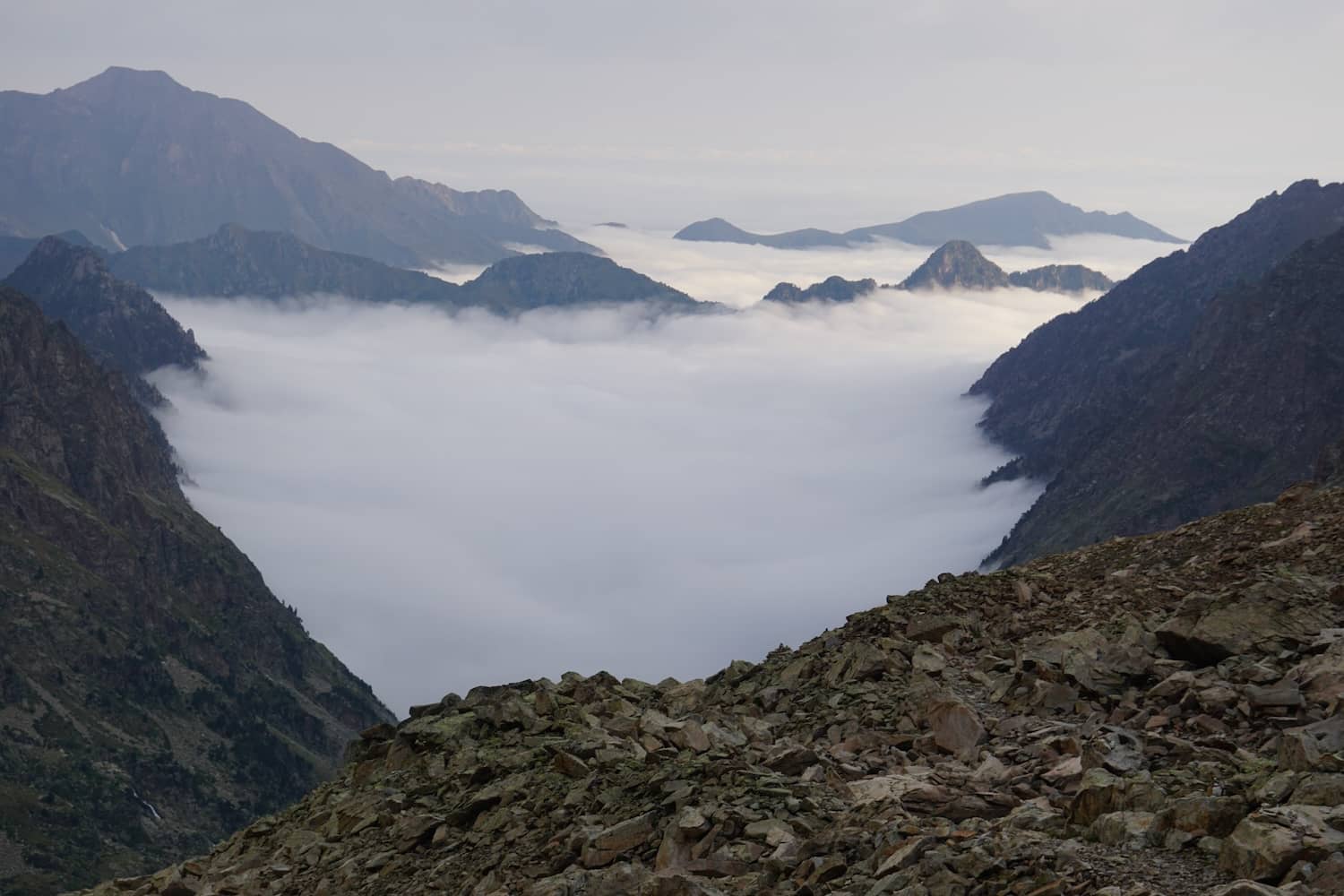
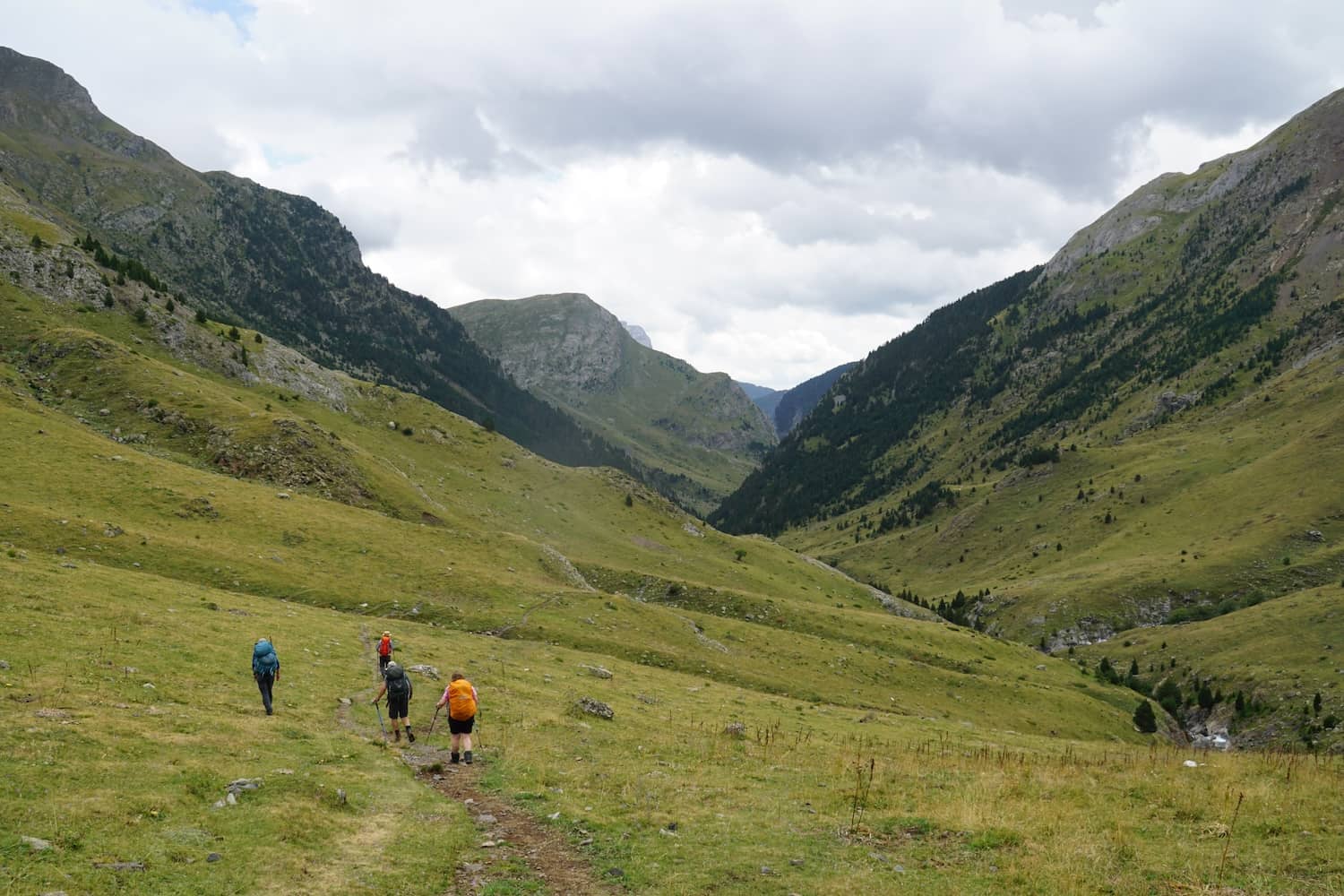
I found the central Pyrenees to be quite wild and was struck by how well forested and preserved the foothills were, both in Spain and France. In the end I organised three walks. The first took in the central highest part of the range. The second and third took in the French (2019) and Spanish foothills (2023) and went from village to village through the forests, farmlands and pastures of the region. Think history, wine, cheese and local cuisine!
Three Pyrenees Walks
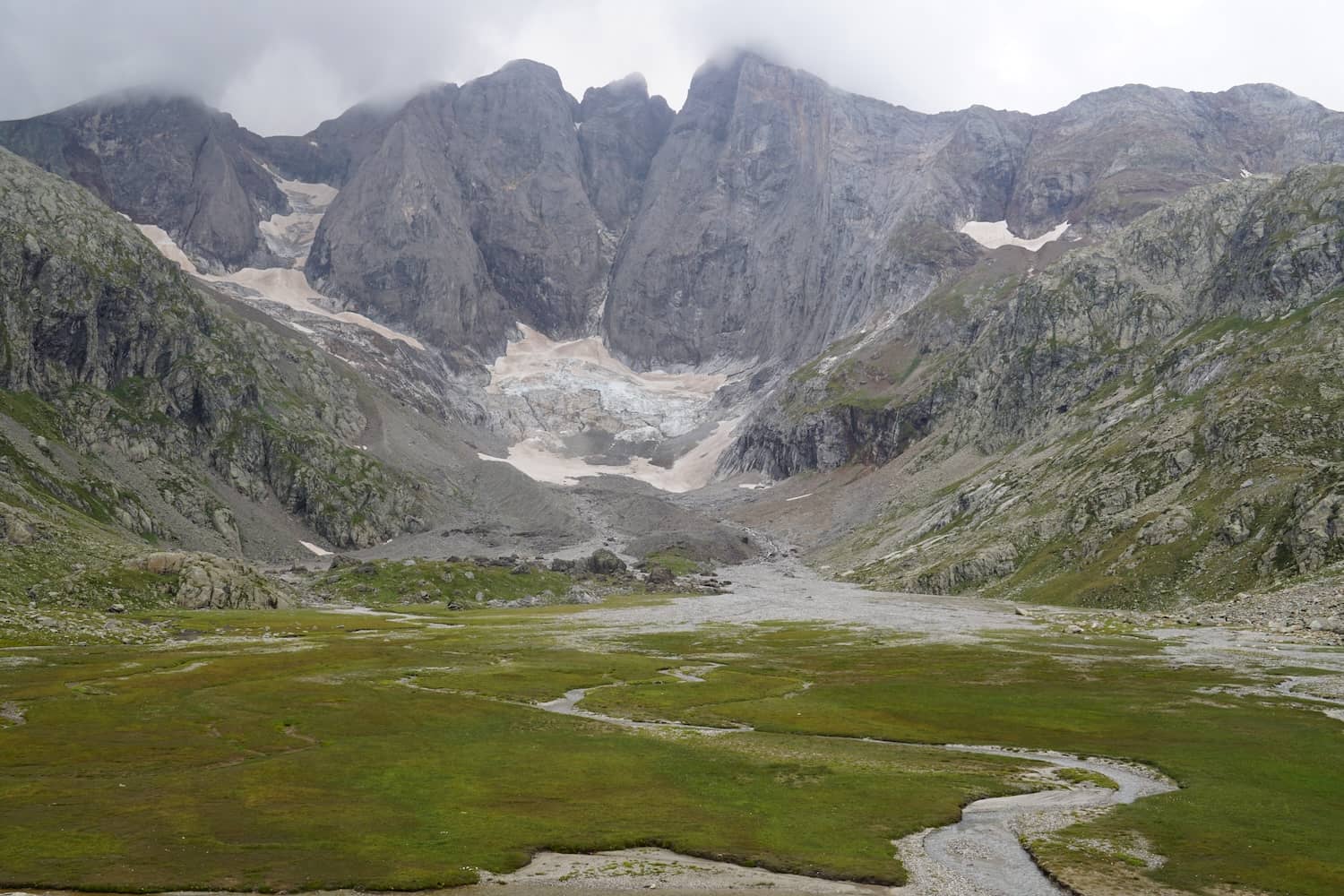
The first walk in 2018 was a 10 day loop walk from Pont de Espagne that circuited the central high peaks of Vignemale and Monte Perdido. We had 5 members on that walk and the rugged trails and scenery left me feeling that I wanted to do more in the region.
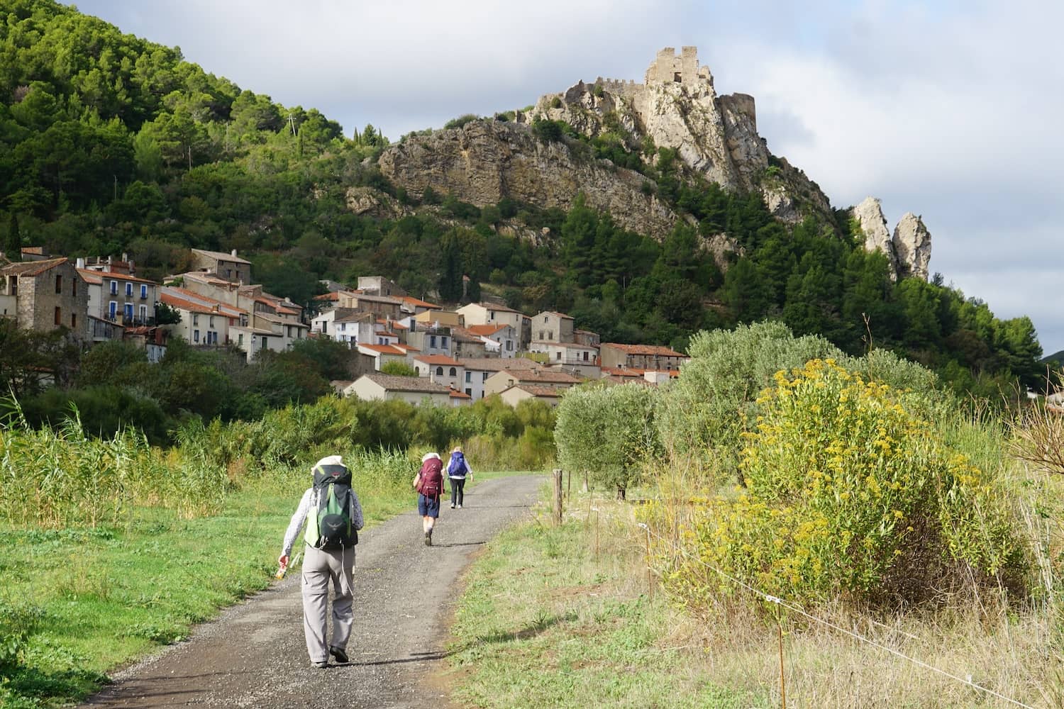
The second walk in 2019 was in the French foothills on the GR 365 known at the Cathar Way (Sentier Cathare). This walk started near the Mediterranean coast and went for 240km over 12 days inland. Nine members on the walk from village to village with forests, vineyards and castles along the way. Beautiful!
The third walk organised for 2020 didn’t occur until 2023. This featured a return to the Ordesa Canyon in the central Pyrenees and a two week walk on the GR1 in the Spanish foothills. Rugged in parts through pine forests, abandoned villages and historic towns.
Pyrenees Booking Resources
- There are many refuges and gites where you can get a bunk, shower and food. These are easily booked online, for example here. You’ll find many of the specific trails have links to accommodation options along the way.
- Spain and France publish many good quality maps and the region is supported by their various walking and climbing federations. All the phone based apps like Avenza have the maps also.
- There are many trails in the foothills of the Pyrenees both in Spain and France. The various provinces often publish websites outlining these, like this one for example.
- Many individuals blog these days also: here is one on the GR1 and this one is on thru hikes more generally.
- Cicerone publish a range of guides in English, here for example.
- Spain publishes this helpful site for the GR11
- France publishes a helpful mapping website. I used this to map the precise location of the gites we were staying at on the Cathar Way walk.
Spain and France have great public transport systems, including fast trains. So it’s easy to fly into a capital city, book trains to regional centres and get a local bus to the start of your walk.
So in the end, planning is pretty easy. Google Translate is often your friend!


Comments (0)