Mount Zeil is the most famous mountain you may never have heard of. Hiding away in the arid inland, it is not only the highest peak in the Northern Territory, it’s higher than any peak outside of the Eastern states. To be honest, it’s not much to look at, but the way it rises from the plain out to the west of the West MacDonnell ranges makes it a spectacular climb, and only difficult because of its remote location.
All of this makes it a tempting target, and one that ABW members have visited numerous times. Here are three differing approaches to the ascent, a map showing their paths and some suggestions for those attempting it in the future. As a disclaimer, these routes have been estimated; nothing here should be relied upon without checking its accuracy independently.
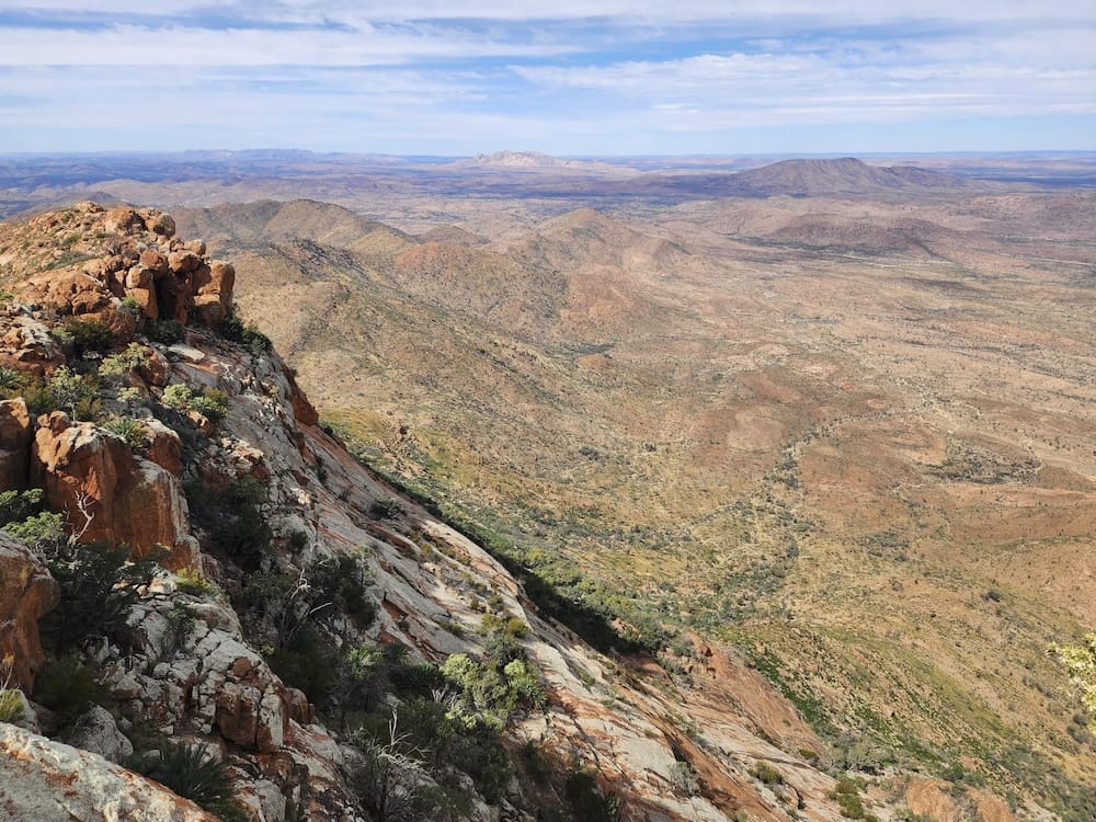
Route 1: Mt. Zeil 1988 by A. Ward
It was soon after 4 pm on Thursday 9th June this year when we reached the summit of Mt Zeil in the Northern Territory. I recalled that this had been lunchtime on the 12 hour day walk from the south on my previous climb.
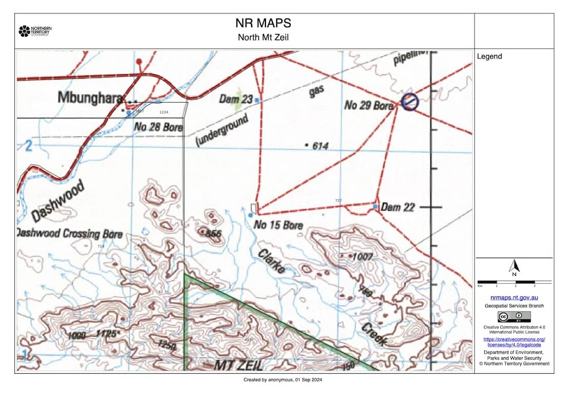
Our climb this year was part of an official Bicentennial project to climb and camp overnight on the highest peak of each State and the Northern Territory. We had emulated the early survey parties who, before helicopters, walked to the summit from No. 15 Bore about 8 Km to the north.
Owen and Helen Harrison (ABW members in the 1960s) now living in Alice Springs had cleared our entry with the property owner at Narwietooma.
The turnoff to this homestead on the excellent road from Alice had been a focal point in navigating our approach on the Hermannsburg 1:250 000 sheet. This old sheet without contours was the best available but proved to be adequate for the straightforward topography of our walk.
The 2WD track to the bore is prominent and heads directly towards Mt Zeil from the road. However, should you miss the turnoff, you will come to a grid 3.5 Km further west and then to the crossing of Dashwood Creek.
Leaving our car at the broad Clarke Creek just beyond the bore, we set out across the plain in the surprisingly warm morning. Early lunch was at the mouth of the gorge that drains the northern slopes of the mountain.
As recommended in the Lands Department notes, we continued up main creek, clambering over the large boulders. Our packs were heavy because we could not rely on finding water further up the creek for our overnight camp. We decided that the eastern ridge offered easier going, but probably left the creek at the start of easier creek walking at its distinct change in direction.
Next time with a daypack I would favour sticking to the creek heading generally west as long as possible before climbing to the western summit ridge. Although the eastern ridge has a number of high points between saddles, you can contour around all but the last before the summit. The presence of Cycad palms on this high point and elsewhere at such high altitude is a feature of Zeil.
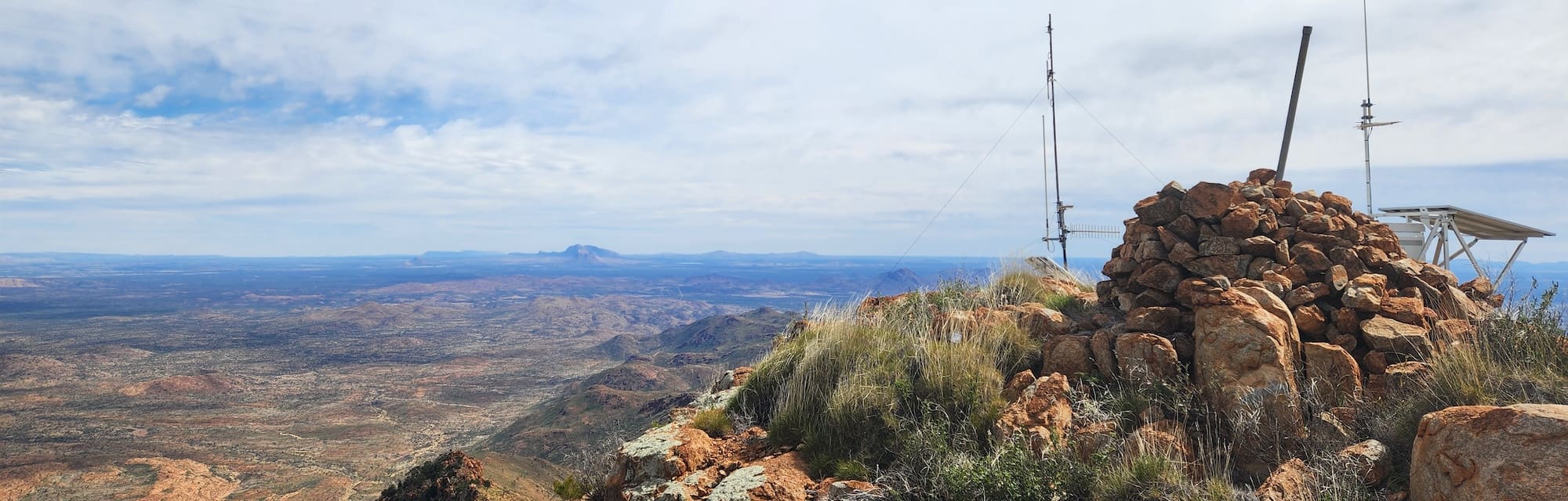
Shortly after reaching the summit of Zeil, hoisting the Bicentennial flag and noting that the required sites for our party of four already existed, […] we decided that we could distinguish Liebig beyond the impressive Mt William and Mt Edward to the west. Of course it was impossible to assess the relative height at a distance exceeding 100 Km. Mt Razorback and Mt Sonder beckoned to the east.
After descending the eastern ridge to our car in 3 hours the next morning, we drove past Haast Bluff which is also an enticing peak. We had not noticed it from Zeil because the higher Mt William and Mt Edward are close behind it.
The road this far had been excellent (don’t try the old road past Glen Helen homestead west of Mt Zeil – it is closed). However, the road heading back to Alice had not been repaired since the Easter floods and an exciting time was had until the Redbank Gorge turnoff. Relieved at getting this far, we continued in the dark to Alice, our Harris hospitality and flight to W.A. to continue our expedition.
Editor’s comments
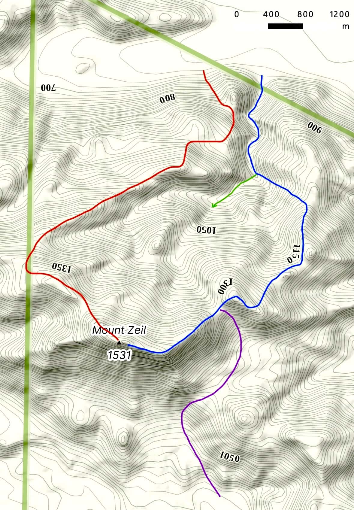
I have estimated the above route to be the BLUE line on the map. GREEN shows their suggested route continuing up the creek. A more recent communication with one of the party members confirms that the map is reasonably accurate.
Route 2
A more recent climb using the same starting point at No. 15 Bore followed the western ridge line marked in RED. This is possibly the easiest route in terms of gradient, but longer than the more direct approach up the creek.
From No. 15 Bore, the walk is a straightforward day trip for anyone of good fitness. A day trip from Alice Springs would require a pre-dawn departure.
Walk 3: Mt. Zeil 2019 by M. Round
The following is an excerpt of the longer and very entertaining article Spinifex and Sandshoes – Mt Zeil and Razorback
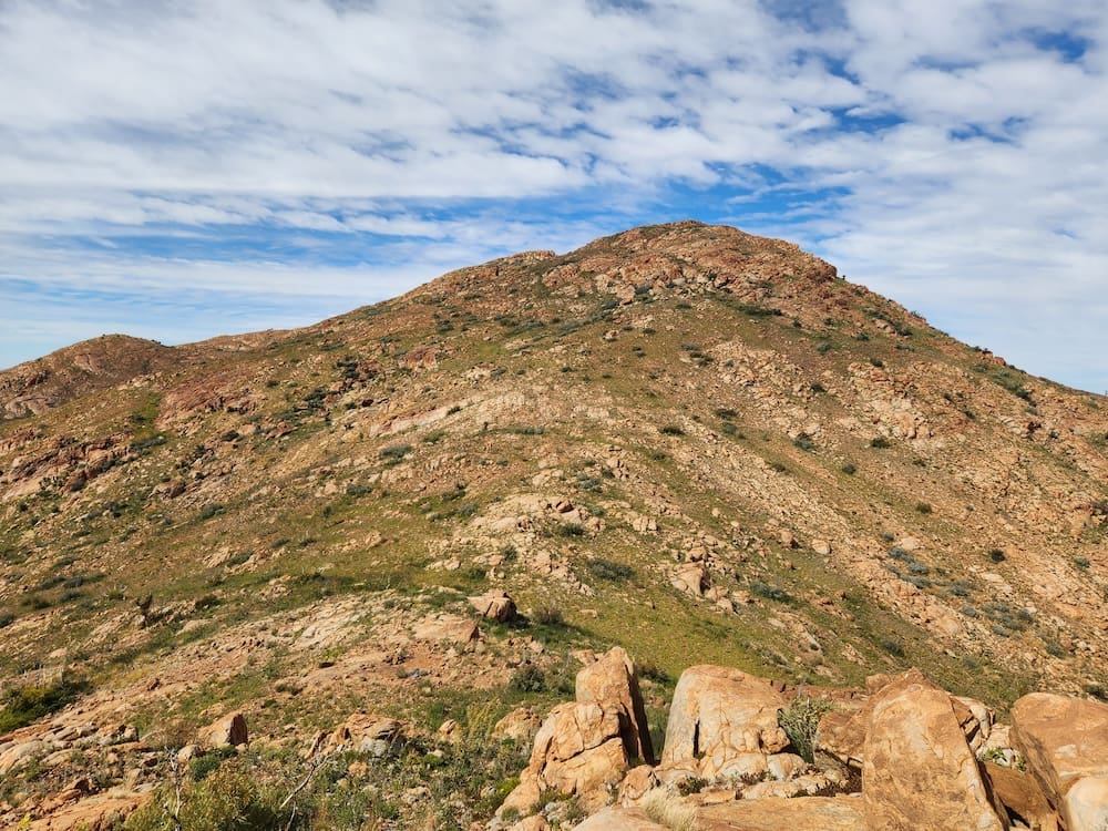
“Mt Zeil at 1531m, is Australia’s highest summit west of the Great Dividing Range and from our south-eastern approach, looked quite imposing. We entered and climbed a steepening and thickly bushed gully with scattered eucalypts and in favoured places, clusters of seemingly incongruous cycads. We then followed along the summit ridge with, to our right, Mt Zeil’s spinifex-clad and gently curving northern slope while to the left, cliffs dropped steeply to the south.”
Editor’s comments
A look at a topographic map and the photo from the south in the original article allows a reasonable guess to be the PURPLE line on the map heading NNE from Mt Razorback. The chief advantage of this route is that it is entirely within Parks boundaries, so no specific consent appears to be necessary. However, the walk from Redbank Gorge could be expected to take three to four days return, and reliable water points will be needed.
A recent communication from Mike confirmed the accuracy of the route. He also commented that he heard of a notoriously fast walker doing the return trip from Redbanks in two days!
Whichever route you take, the months of July and August are the best times to tackle this climb, but daytime temperatures can still exceed 30 degrees and nights will regularly be below freezing. Given the remote, trackless area, it should not be attempted solo. Although mobile reception is present on most of the north face, a satellite messaging device should be carried for emergencies.
Comments (0)